Brighton-Le-Sands på kartet
Brighton-Le-Sands (New South Wales) , Australia på kartet.
GPS-koordinater: 33° 57' 54.7" Sør,
151° 9' 4.3" Øst.
» Tidssone, » politisk Kart, » Natural kart,
» Brighton-Le-Sands På nattkart & » På Google map.
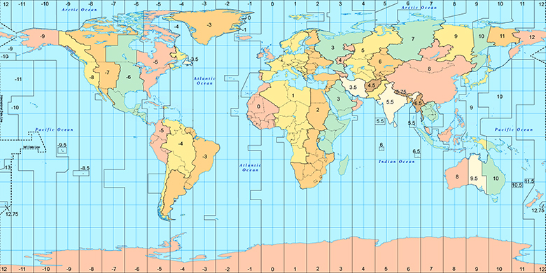
 Tid
TidBrighton-Le-Sands Posisjon på tidssonen kartet:
Tidssone: GMT+10:00 = AEST

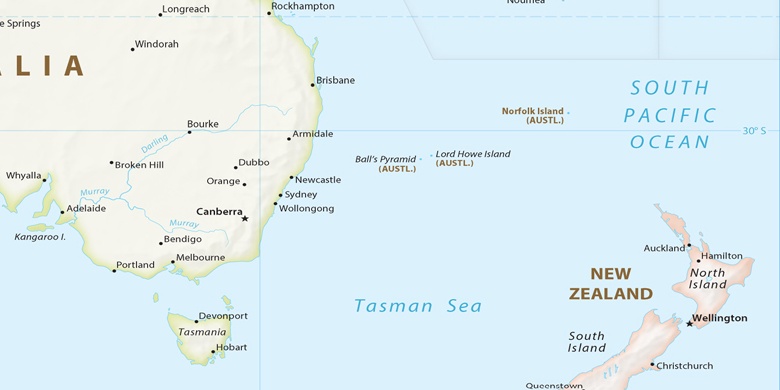
Australia, Brighton-Le-Sands politisk Kart

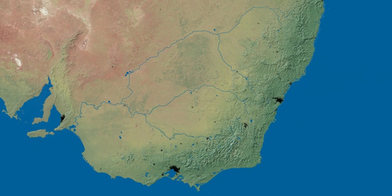
Natural kart
Breddegrad lengdegrad: -33.9652, 151.1512

Brighton-Le-Sands
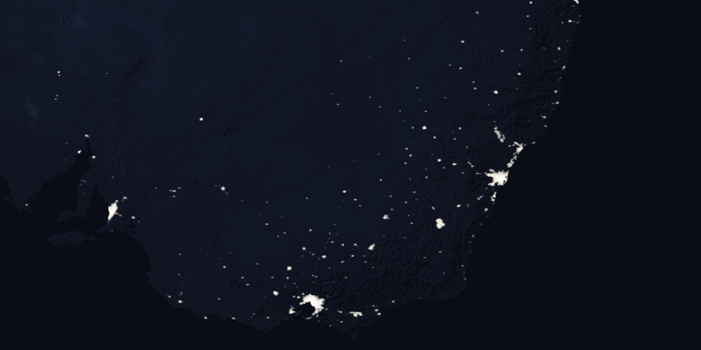
Brighton-Le-Sands På nattkart