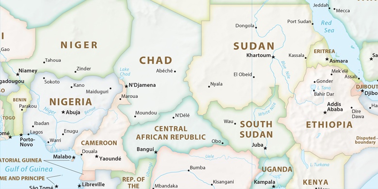
Bouar på kartet
Bouar (Nana-Mambéré
) , Den sentralafrikanske republikk på kartet.
GPS-koordinater: 5° 56' 2.5" Nord,
15° 35' 45.6" Øst.
» Tidssone, » politisk Kart, » Natural kart,
» Bouar På nattkart & » På Google map.
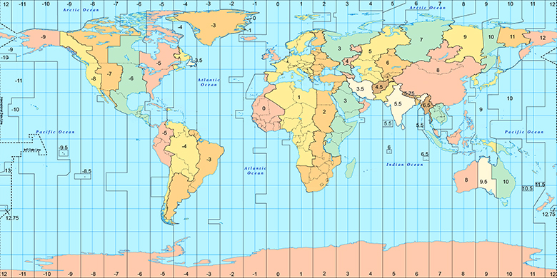
 Tid
TidBouar Posisjon på tidssonen kartet:
Tidssone: GMT+01:00 = WAT

Den sentralafrikanske republikk, Bouar politisk Kart

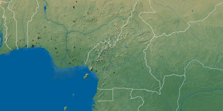
Natural kart
Breddegrad lengdegrad: 5.93404, 15.59599

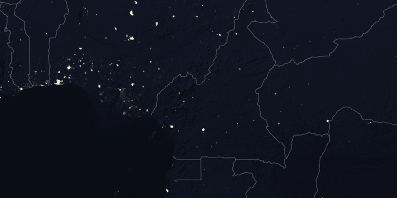
Bouar
Bouar På nattkart