 Saint Augustine Shores på kartet
Saint Augustine Shores (Florida) , USA på kartet.
GPS-koordinater: 29° 48' 38.9" Nord,
81° 18' 37.3" Vest.
» Tidssone, » politisk Kart, » Natural kart,
» Saint Augustine Shores På nattkart & » På Google map.
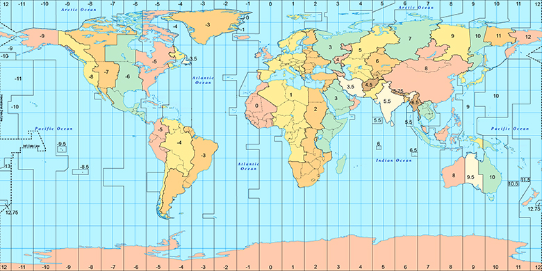
 Tid
TidSaint Augustine Shores Posisjon på tidssonen kartet:
Tidssone: GMT-04:00 = EDT (±1 DST)

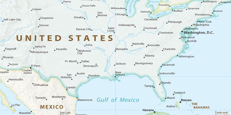
USA, Saint Augustine Shores politisk Kart

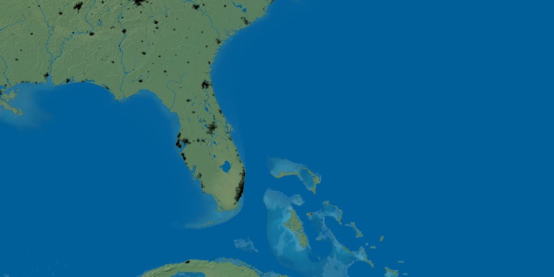
Natural kart
Breddegrad lengdegrad: 29.8108, -81.31035

Saint Augustine Shores
Saint Augustine Shores På nattkart

